
Discover the itineraries
ANCIENT ROUTES
Sant’Angelo-Cortona Loop
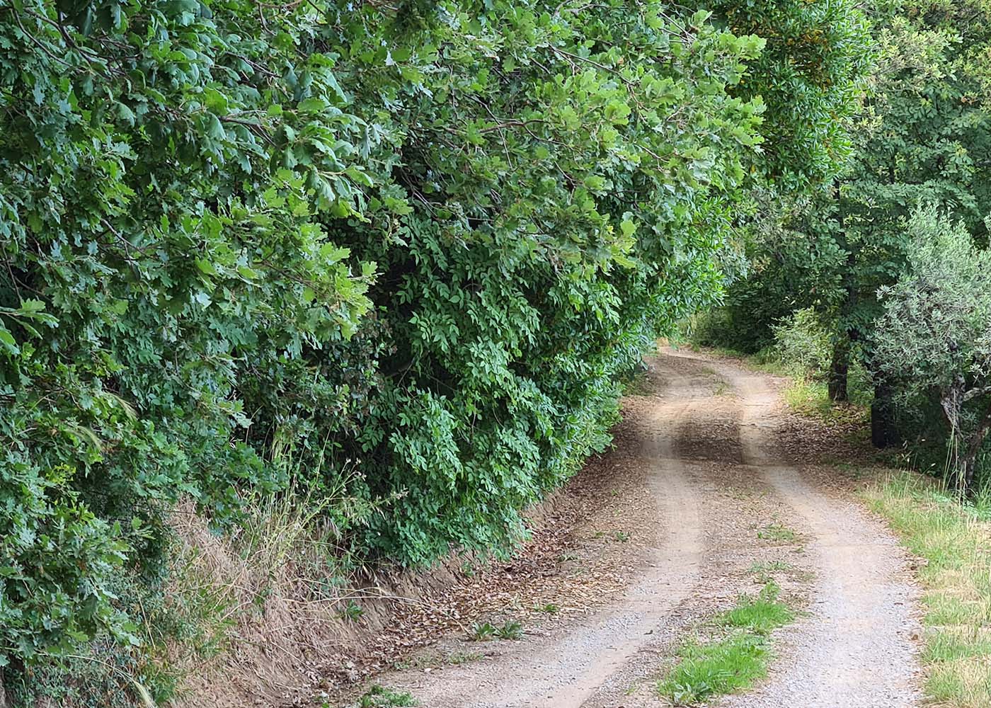
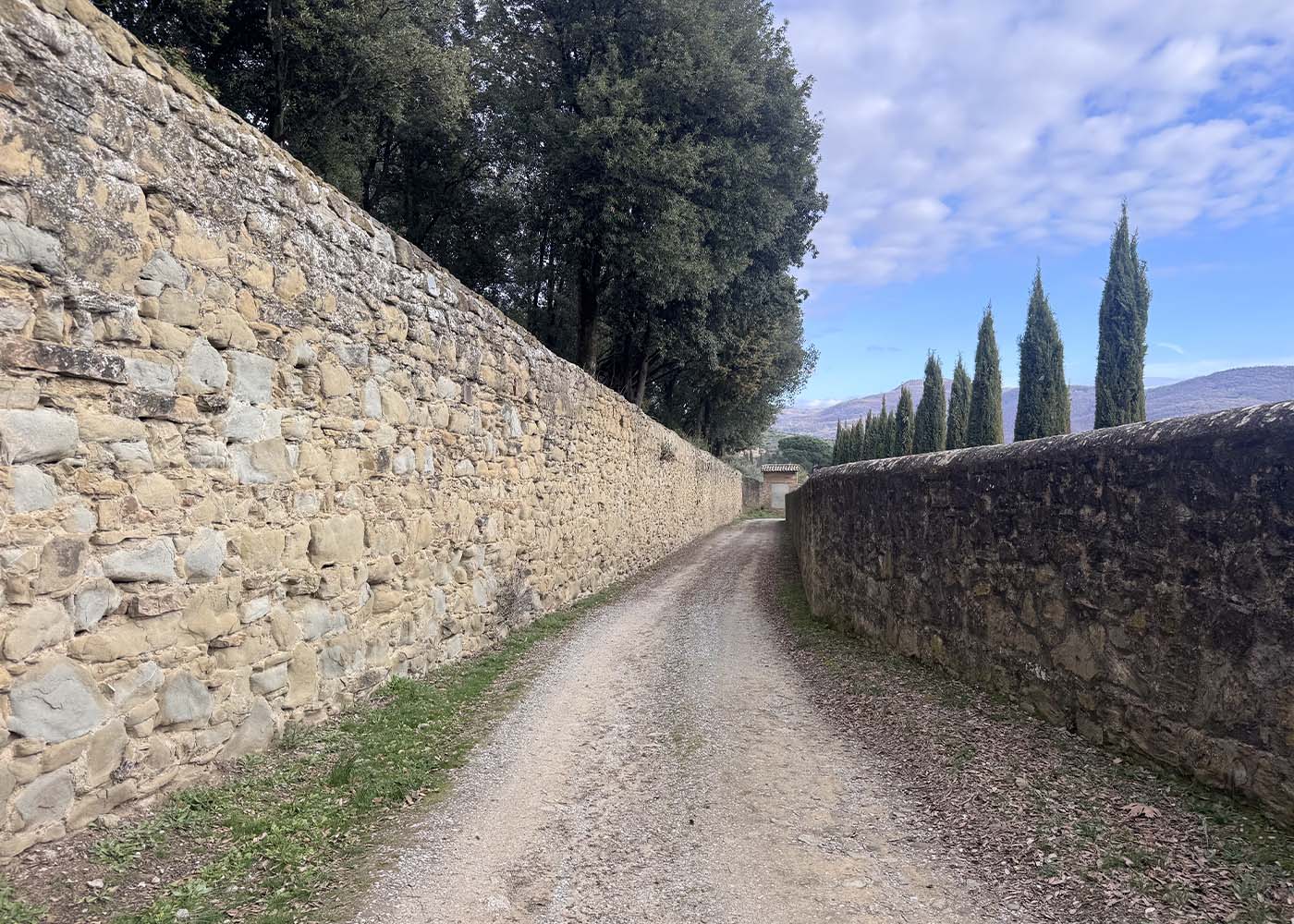
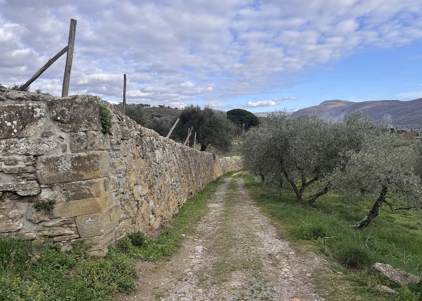
This itinerary, of considerable historical and naturalistic interest, follows ancient paths and trails that tell the oldest history of the area. It largely develops along the network of routes within the MAEC Park.
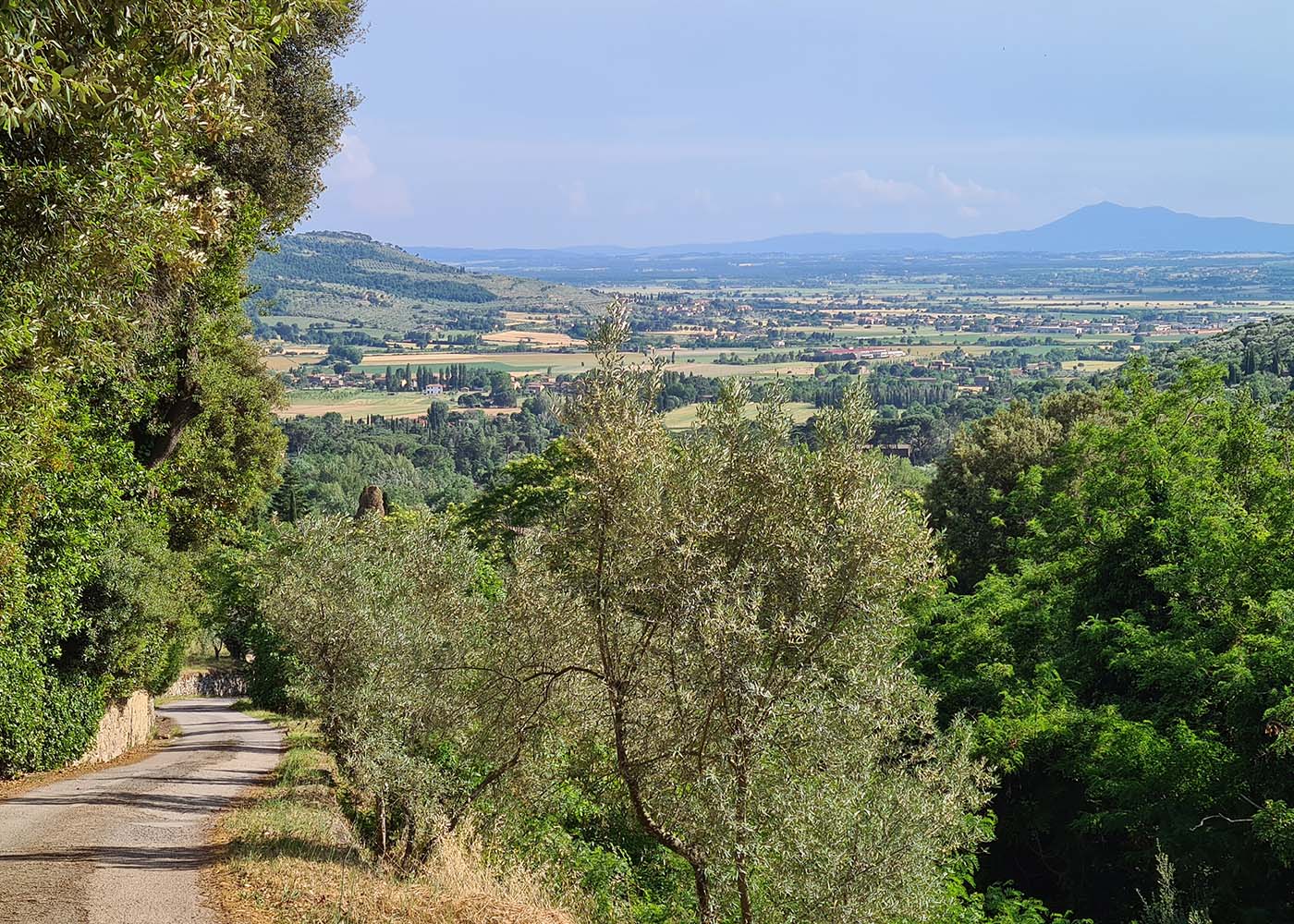
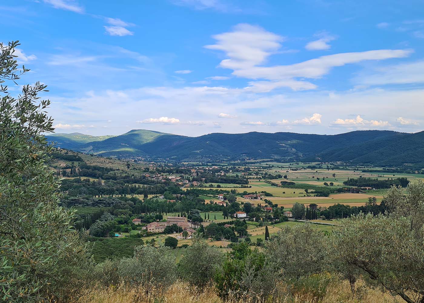
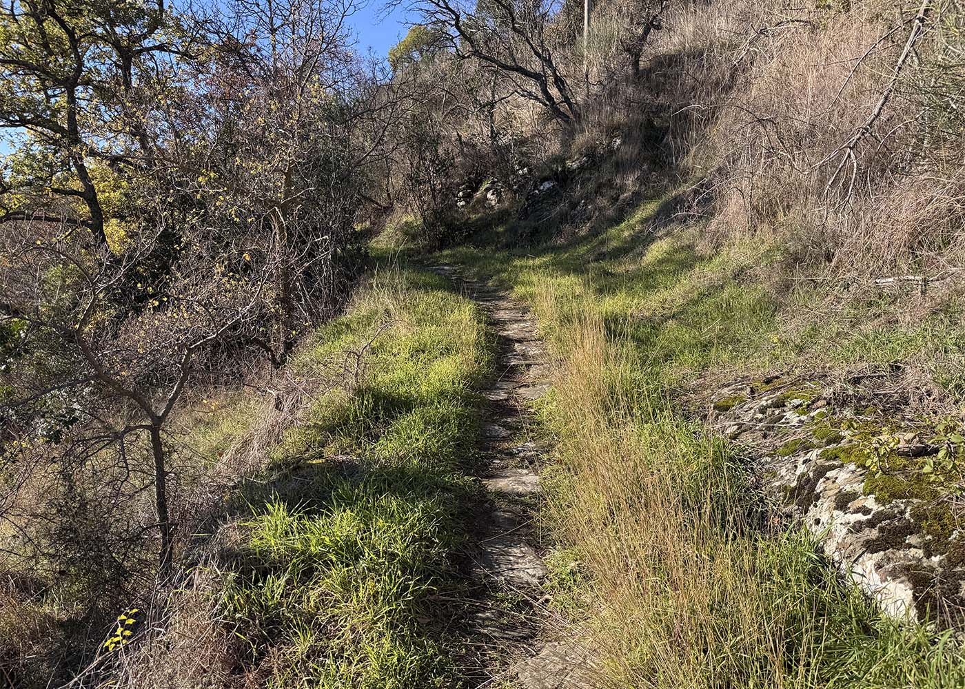
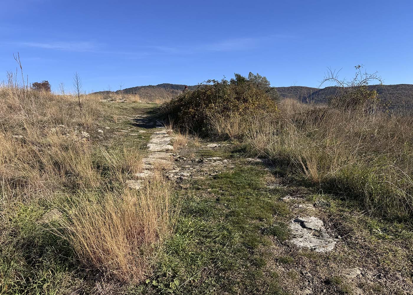
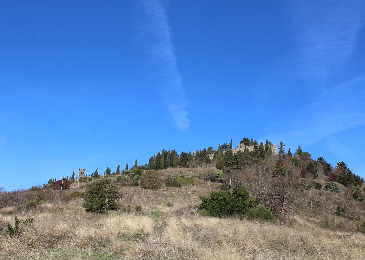
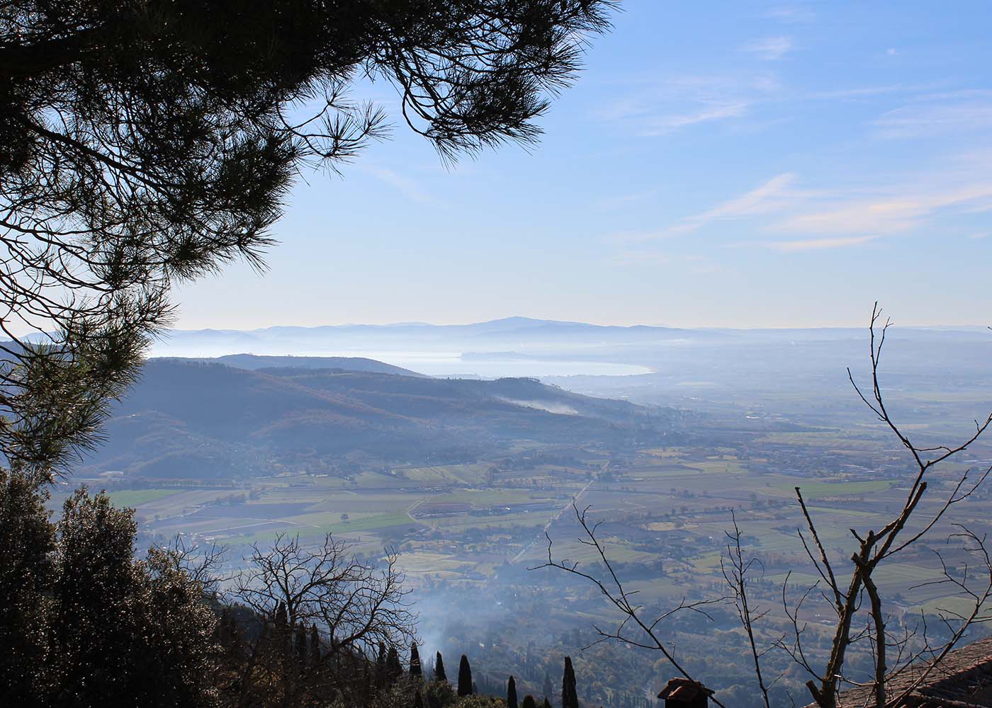
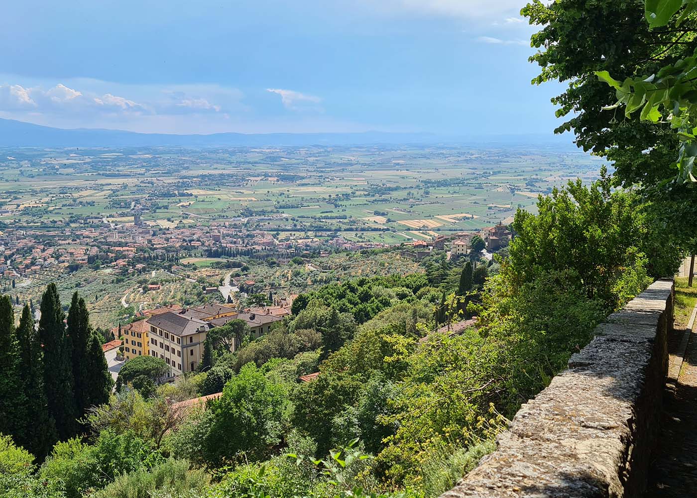
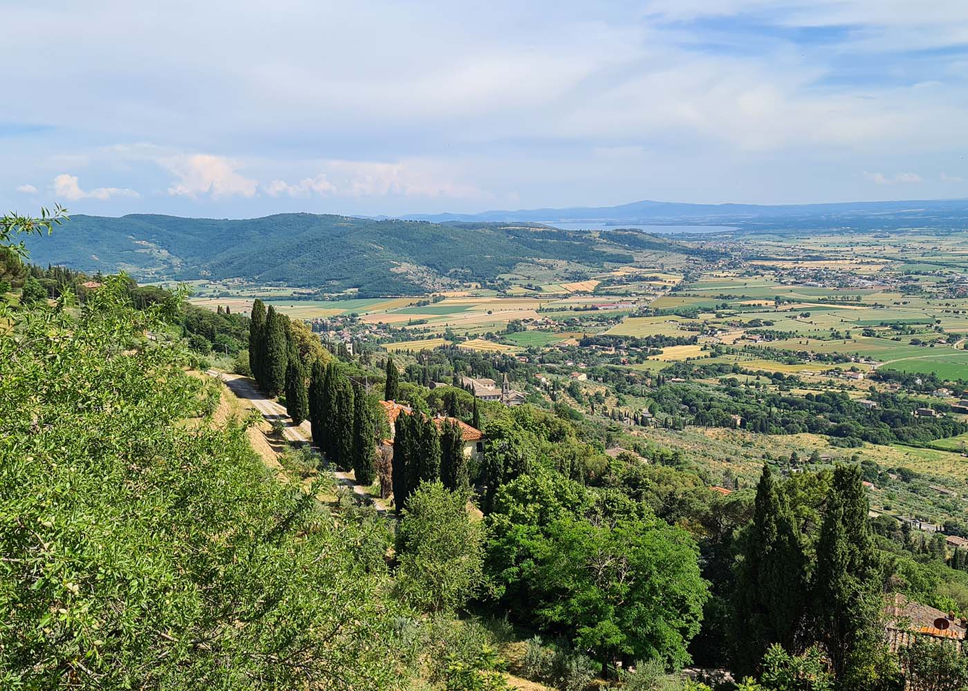
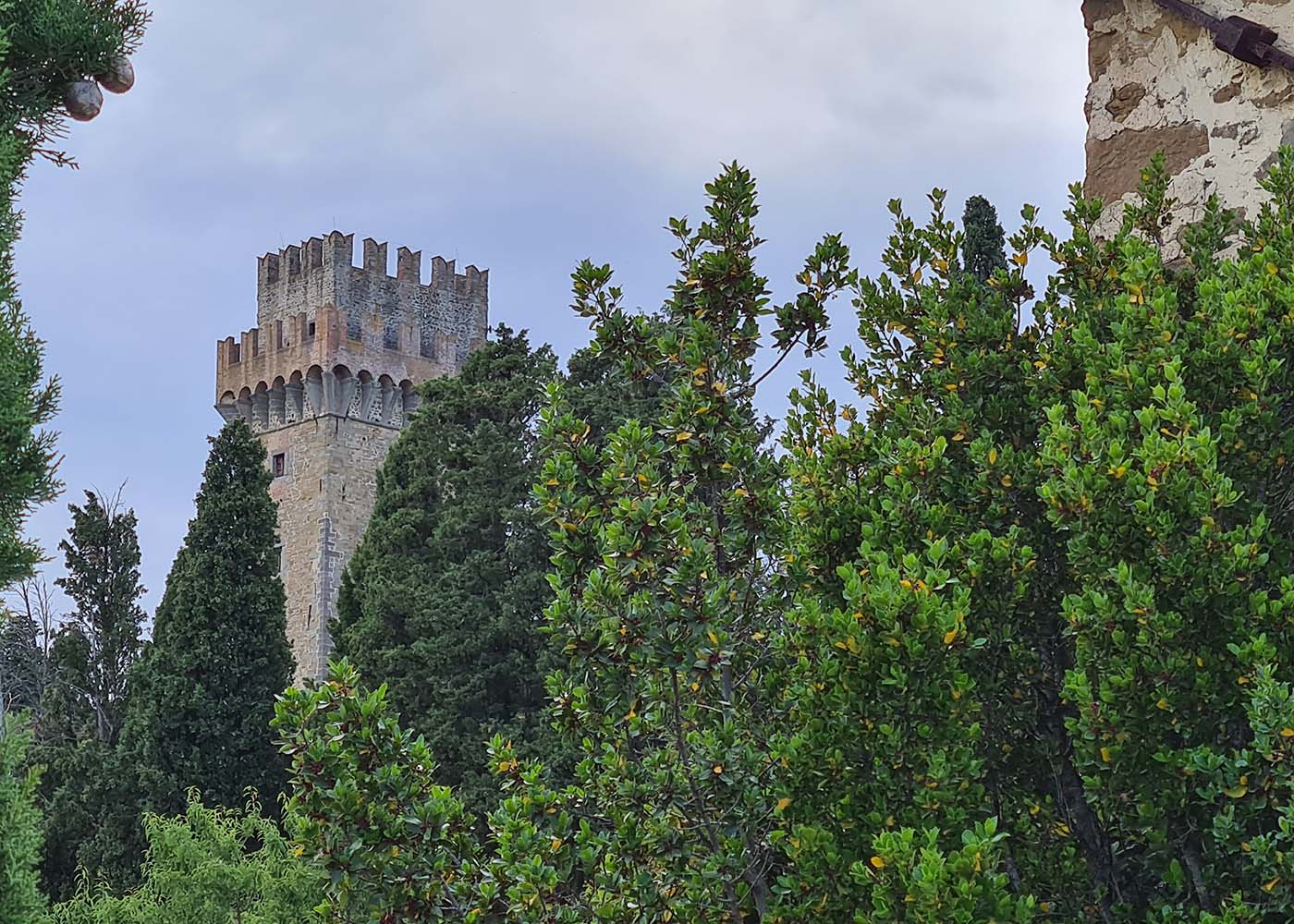
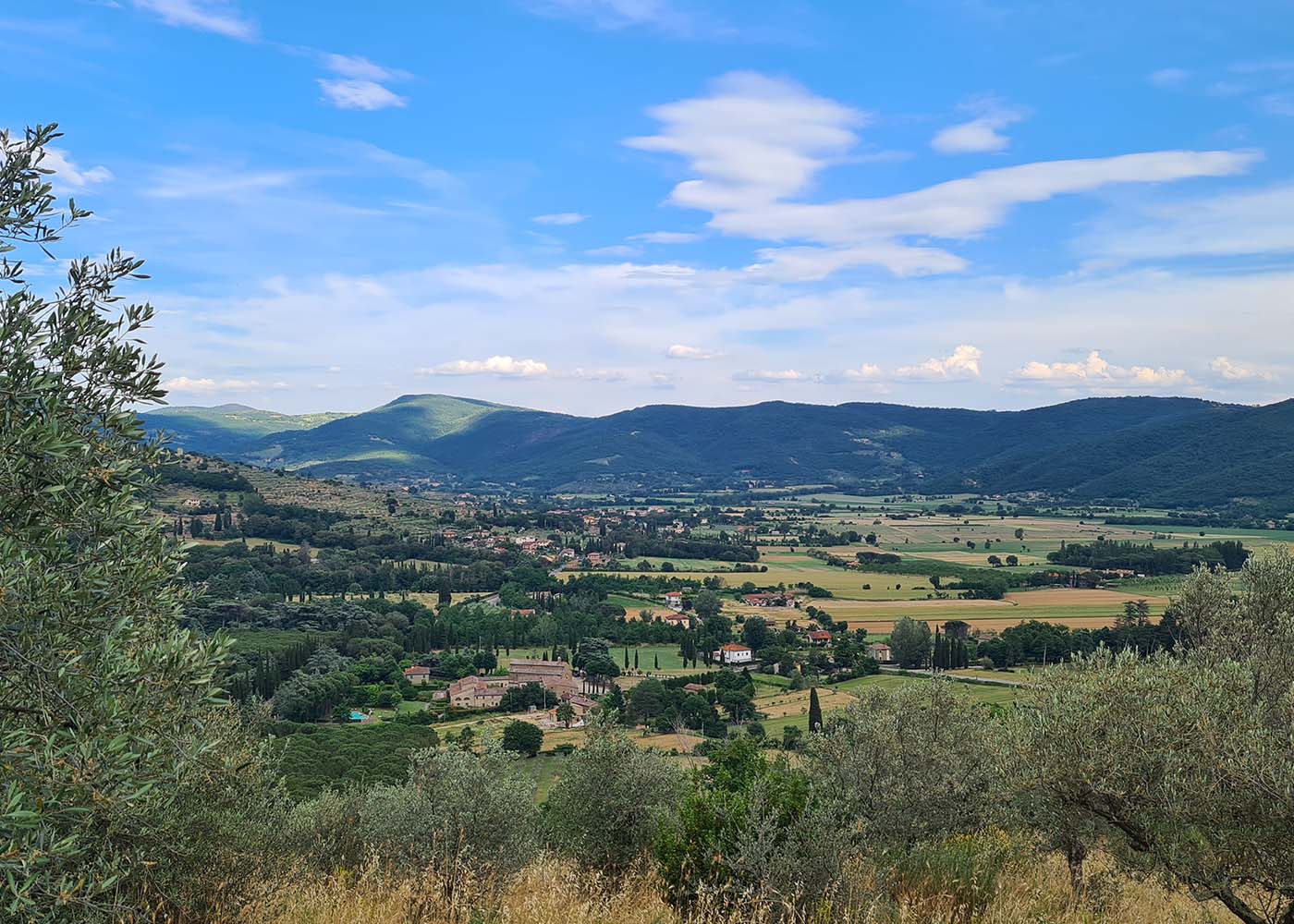
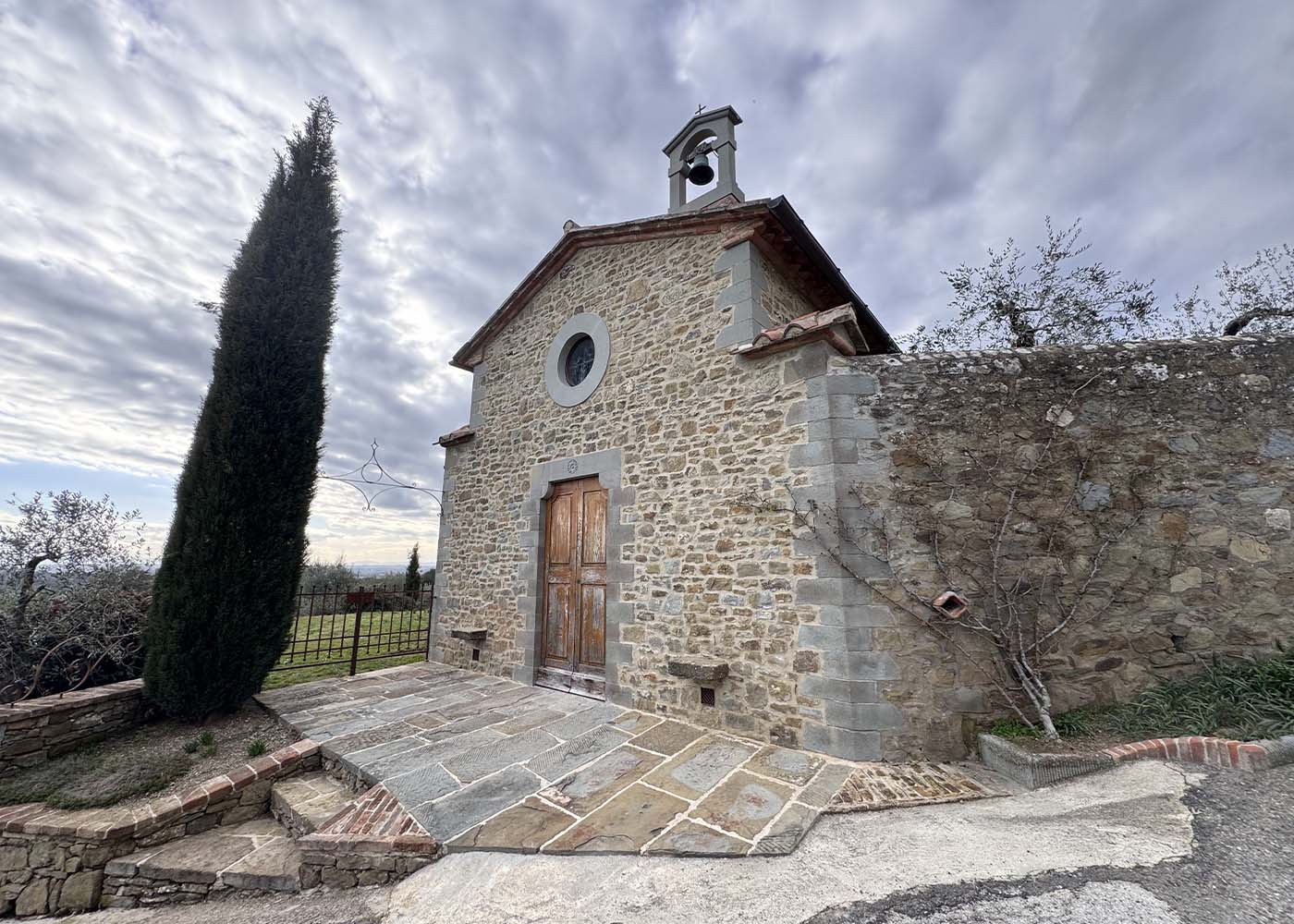
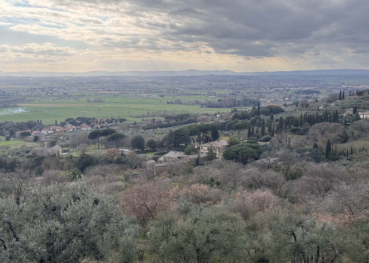
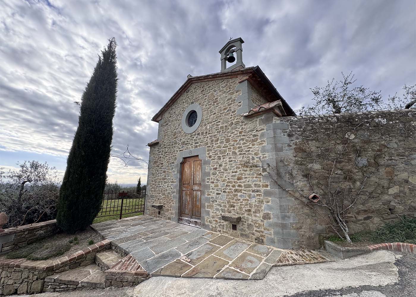
The route gradually climbs towards Cortona. In its initial section, it crosses the locality of Teccognano, then reaches the small church of San Francesco, an ideal place for a short stop. The path then follows the ancient paved road (basolata) that descended from Cortona to Metelliano. This stretch offers the first panoramic views of the Valdichiana, especially once you reach the meadows surrounding the Fortezza del Girifalco.
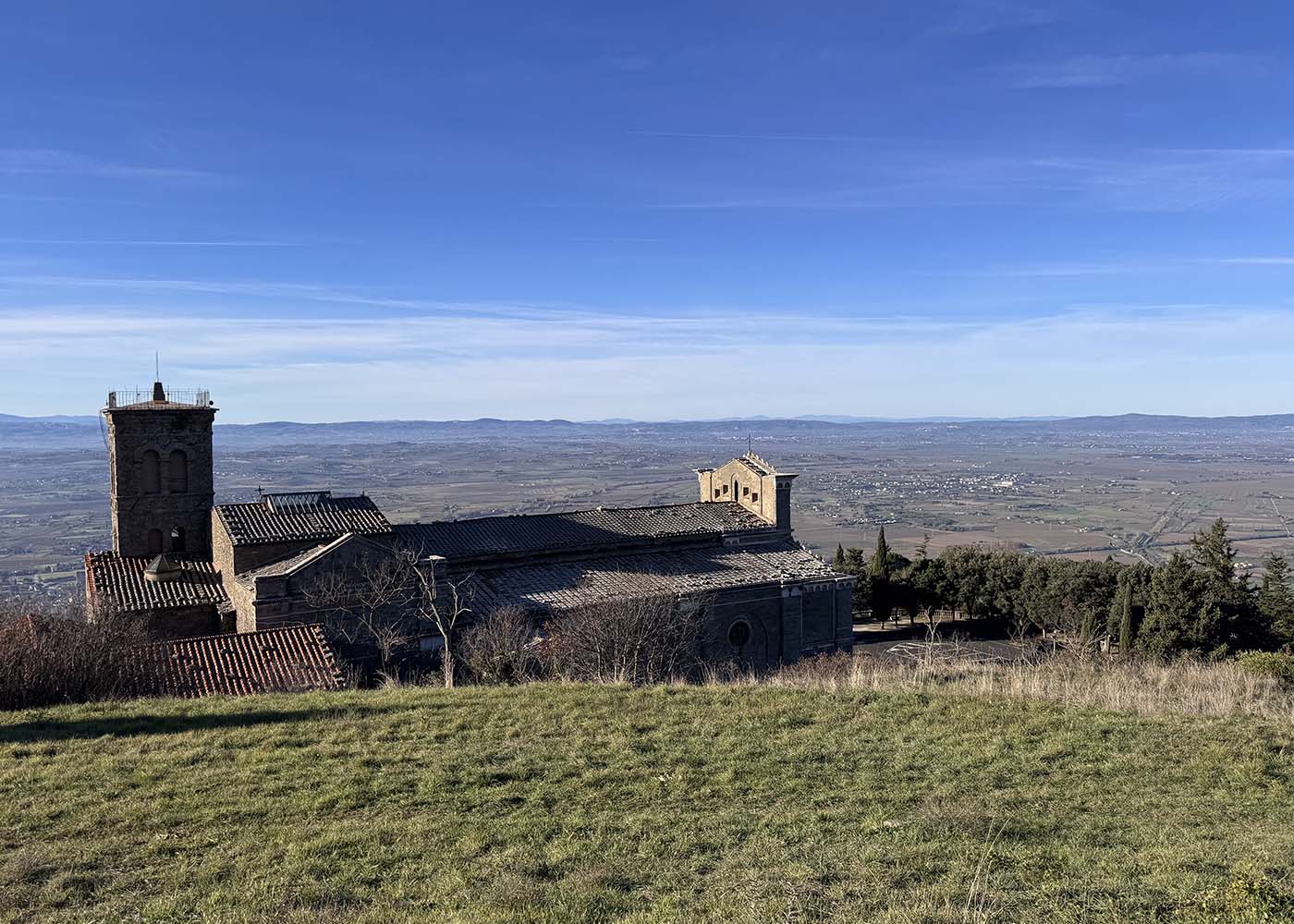
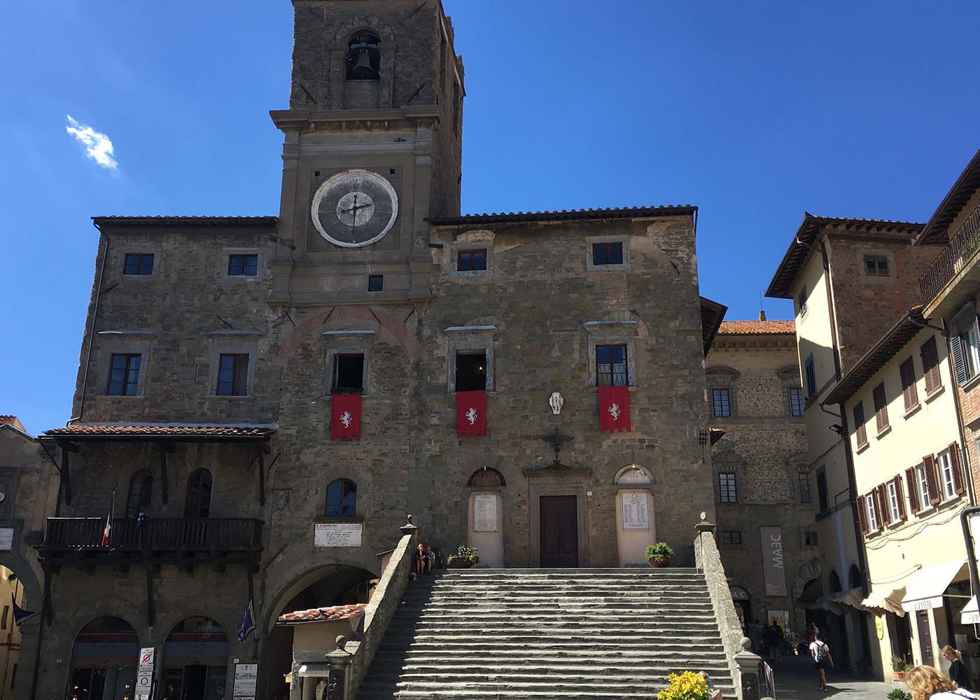
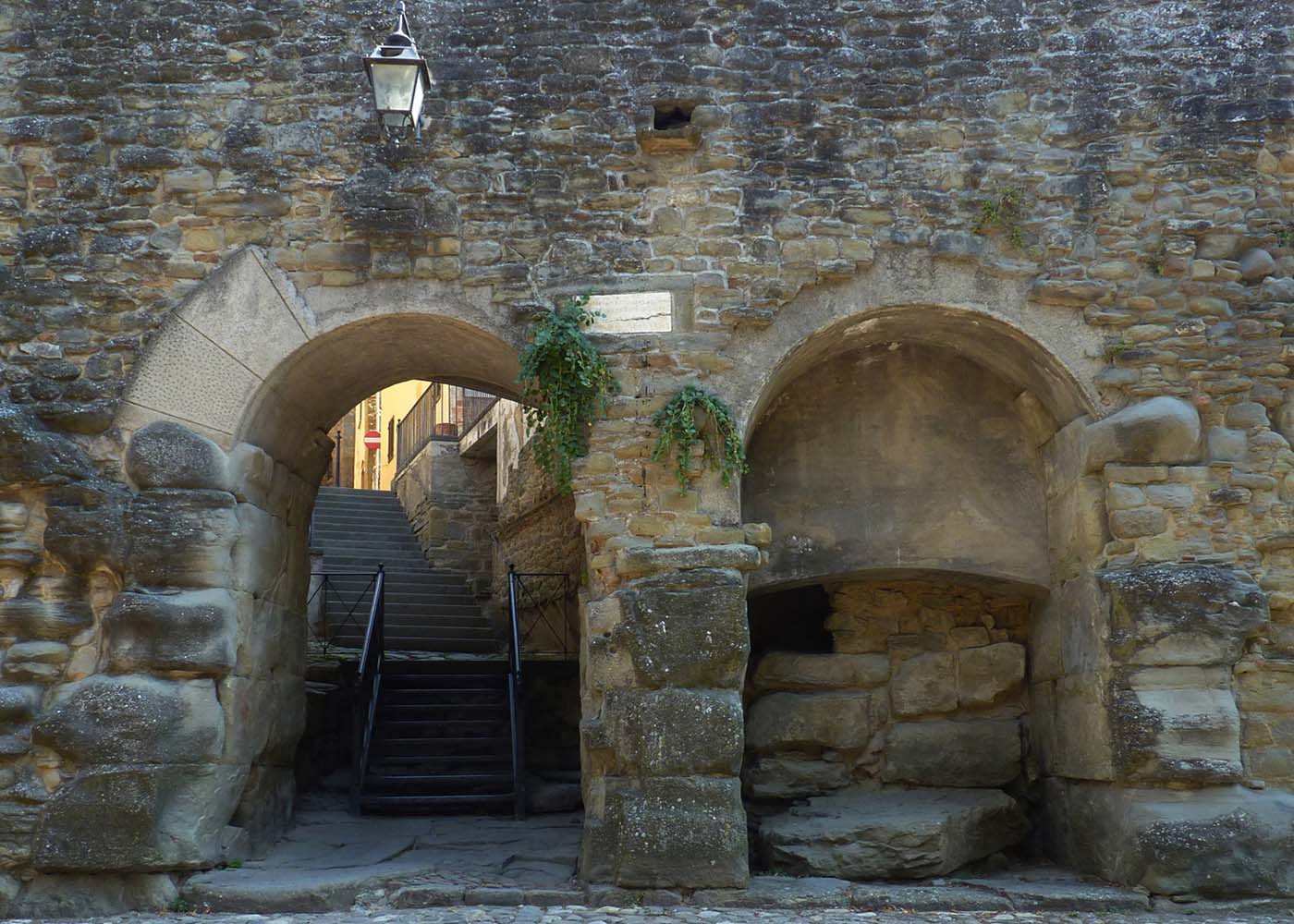
The first portion of the itinerary culminates with the arrival at the majestic fortress, the highest point of the route, and the nearby Sanctuary of Santa Margherita, the city’s patron saint. From here, you proceed downhill towards the historic city center, walking through its streets, squares, and monuments.
The ring tour continues by leaving the city in a southerly direction, following another stretch of the paved road. You thus reach the Palazzone, a monumental sixteenth-century villa, and after passing the nearby wayside shrine (maestà), you return to the starting point by following a section of the Via Lauretana and Via Romea Germanica, which coincide here.
Length: 10 km
Elevation gain: 400 m
Difficulty: easy to moderate
Walking time: approximately 3 h
Activity: hiking
Recommended direction: counterclockwise
Dedicated waymarking along the route: no (download the track and follow it on your GPS or smartphone)
WOODLANDS AND PANORAMIC VIEWS
Sant’Angelo-Monte Sodello Loop
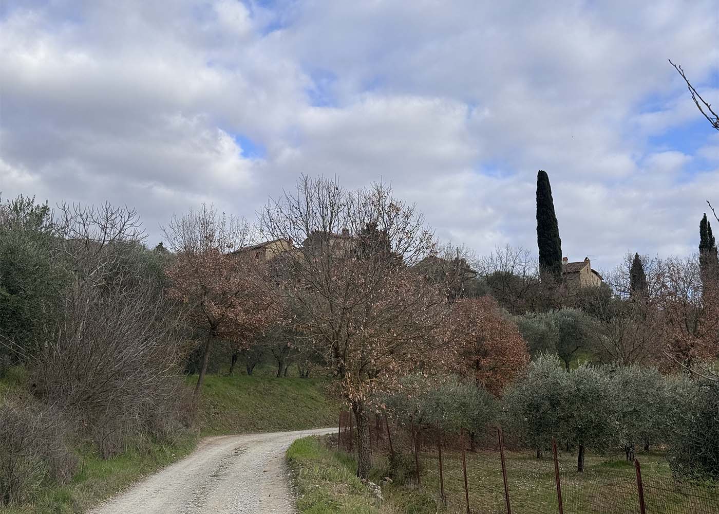
The itinerary develops along the southern and western slopes of Monte Sodello. It starts from Sant’Angelo following the Via Romea Germanica and Lauretana in a southeast direction until the provincial road. It proceeds for a stretch on this road, then turns left towards Le Corchie.
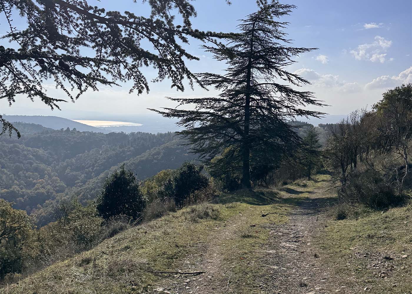
After crossing Pergo, with the church of San Bartolomeo and the Sanctuary of the Madonna del Bagno, the route enters a wooded area, climbing the southern slope of Sodello. It then reaches the Burciano di Sotto farmstead, where it turns left to reach the summit of the mountain.
From there, the route descends, crossing woods in the first stretch and olive groves in the final stretch, before reaching Metelliano and then returning to the starting point of the itinerary.
Length: 11 km
Elevation gain: 460 m
Difficulty: medium
Walking time: approximately 3 h and 30 min
Activity: hiking
Recommended direction: counterclockwise
Dedicated waymarking along the route: no (download the track and follow the route on your GPS or smartphone)
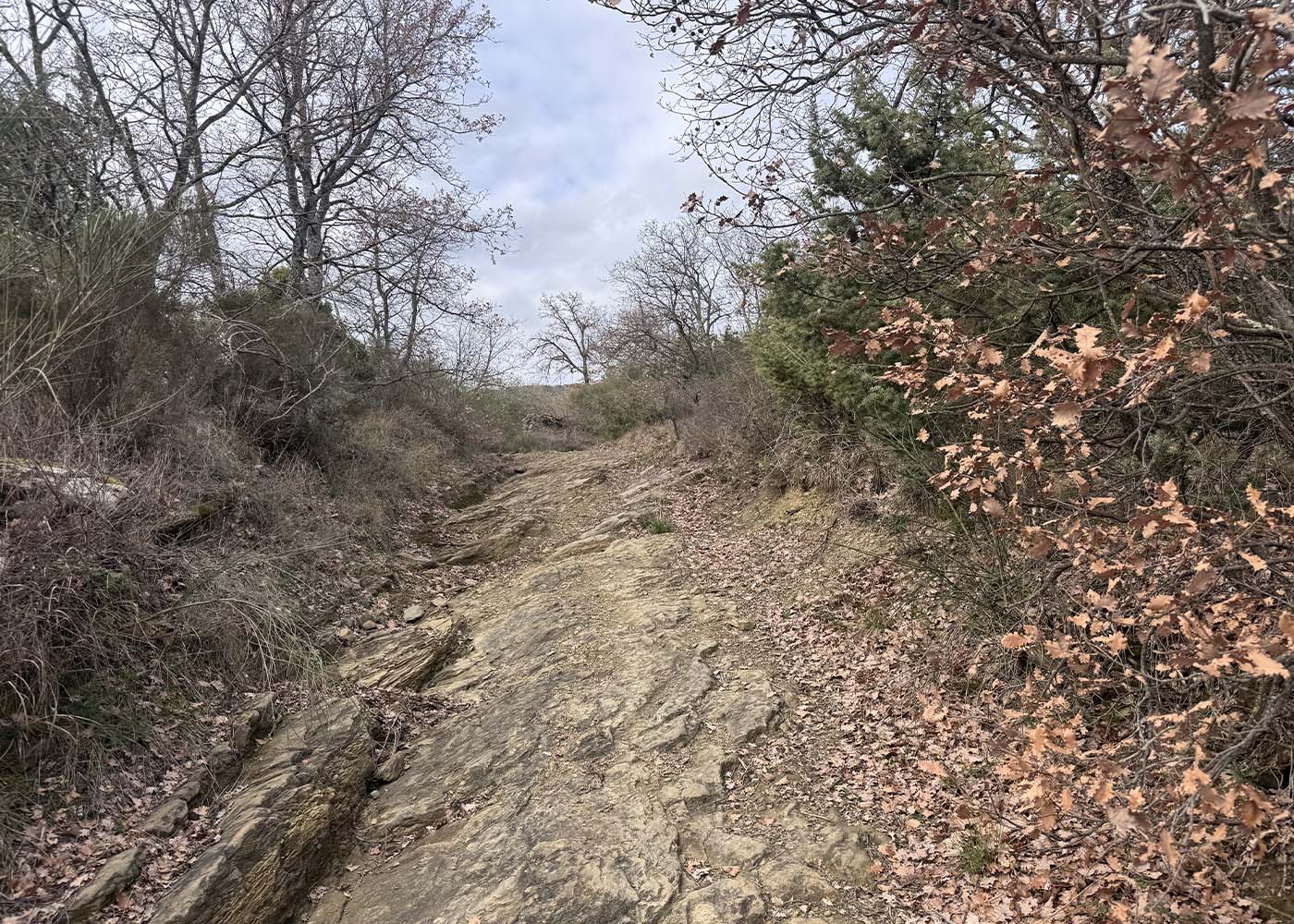
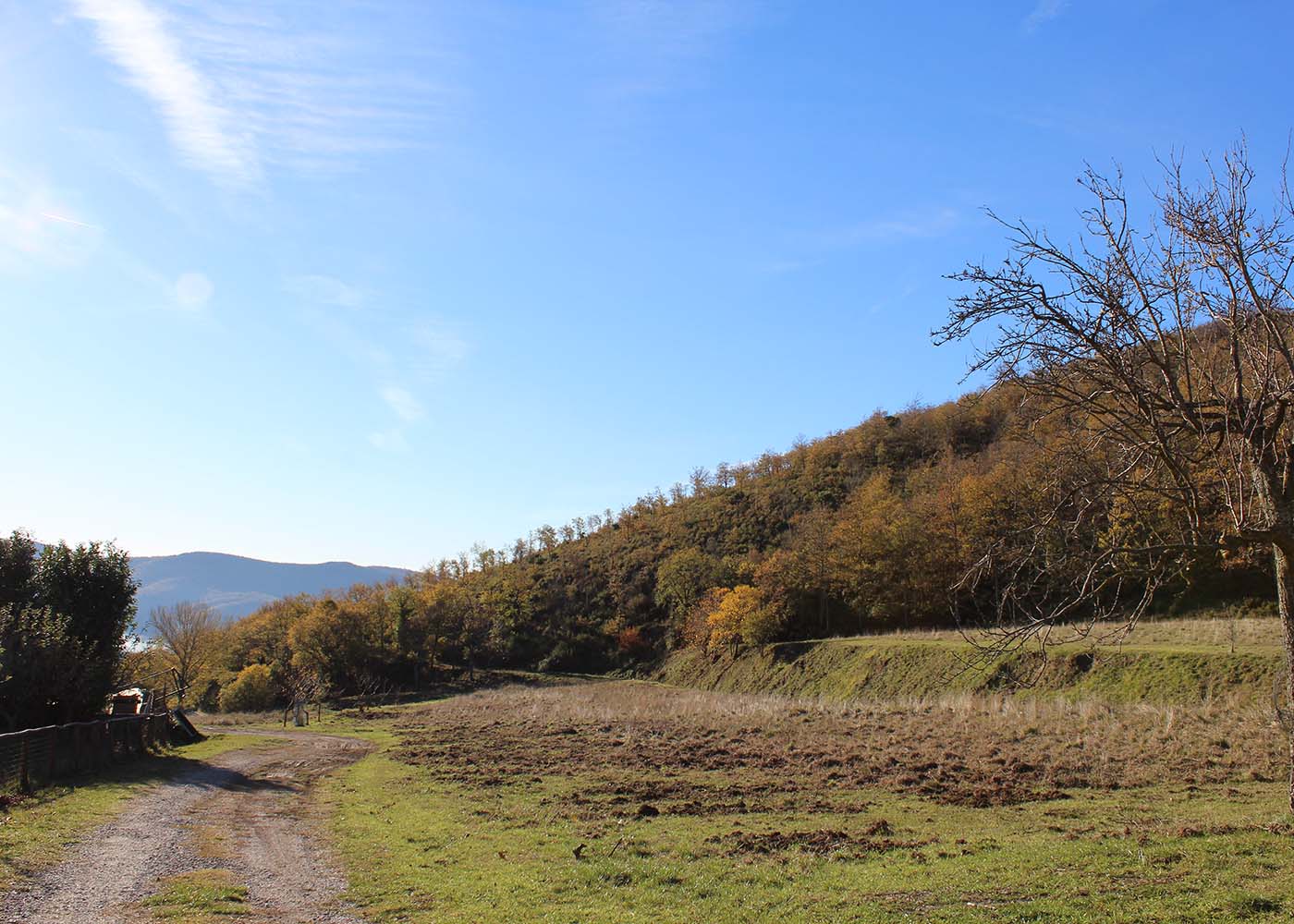
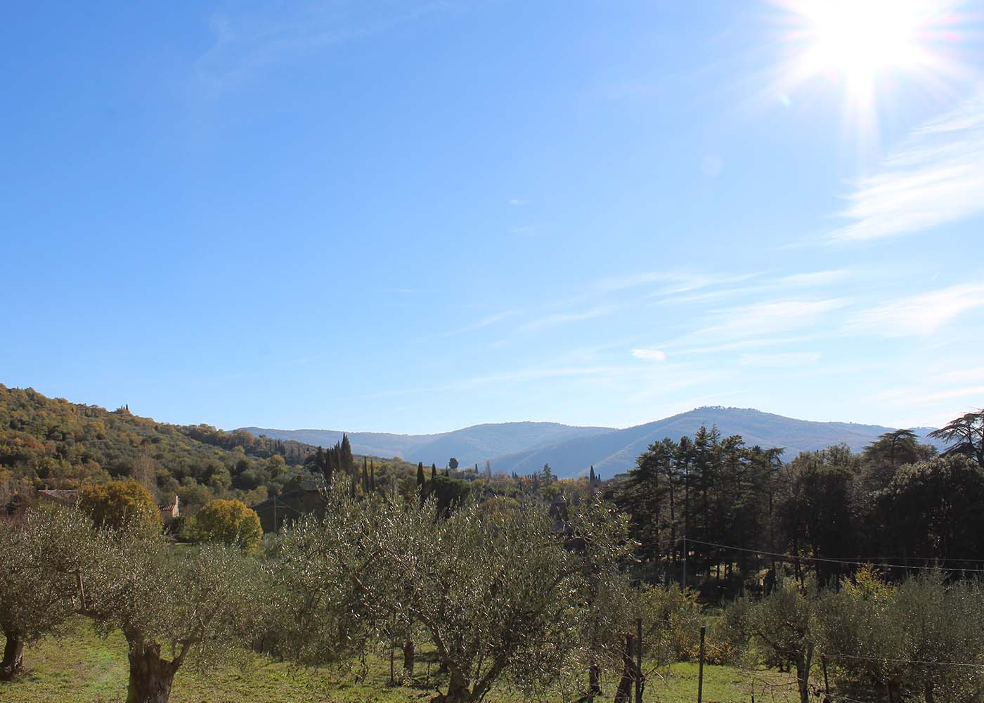
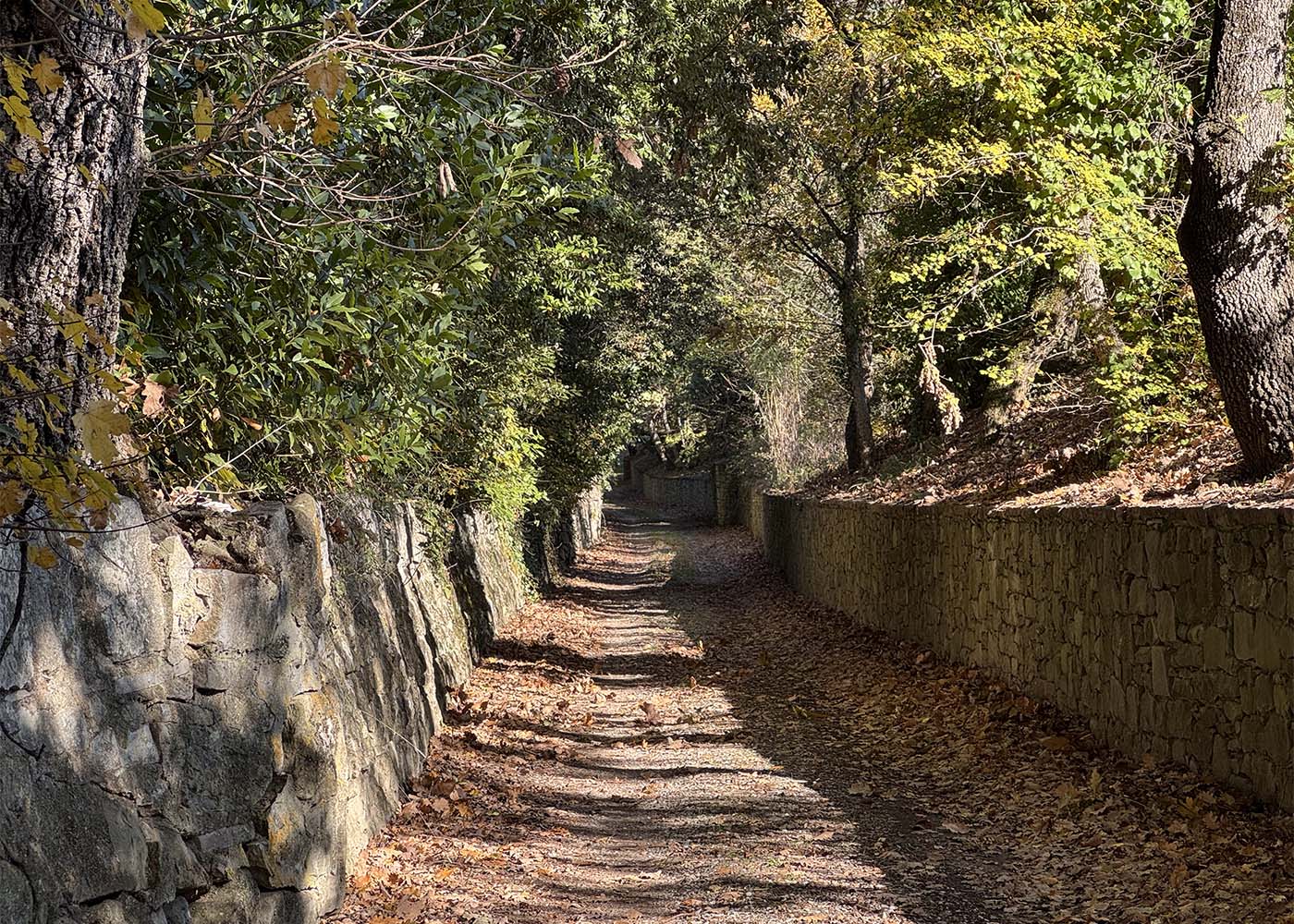
TOWARD THE LAKE
Sant'Angelo-Sepoltaglia-Piazzano Loop
The itinerary unfolds in the area south of Sant’Angelo a Metelliano, in the Val d’Esse, reaching Ossaia, and from there, Sepoltaglia and Piazzano. The first part develops along the system of paths of the MAEC Park.
Starting from Sant’Angelo, the itinerary follows the Via Romea Germanica and Lauretana for the first section almost to the junction for Le Corchie, and then, turning right, continues to Montalla. From Montalla, it continues on the same Romea Germanica and Lauretana until it reaches Ossaia on a dirt road, accompanied by pleasant views of the Valdichiana and Cortona. From the Ossaia cemetery, a small detour allows a visit to the ruins of the Roman villa found here, which has been the subject of repeated archaeological excavations. Resuming the uphill journey on the CAI 565 trail, through woods and olive groves, you reach the ridge, which quickly leads to the church of Sepoltaglia: from this evocative place, you can enjoy a wonderful view of Cortona and the Trasimeno hills. The itinerary then continues downhill, still on a trail. After a series of hairpin bends in a wooded environment, you reach the Piazzano valley, crossing the Umbria-Tuscany border. The path widens, and on a dirt road, you skirt the boundaries of the homonymous villa. Once you reach the asphalt, a short variation leads to the church of San Cristoforo. The journey then continues, re-entering Tuscan territory; you follow the Esse stream and cross it to reach La Dogana. Crossing the provincial road, you climb up a secondary road, reaching the church of San Bartolomeo near Pergo. Proceeding halfway up the slope, you pass Le Corchie and, re-entering the provincial road, you return to Sant’Angelo, retracing the outward stretch.
Length: 15,5 km
Elevation gain: 400 m
Difficulty: medium-challenging
Walking time: approximately 5 h
Activity: hiking
Recommended direction: counterclockwise
Dedicated waymarking along the route: no (download the track and follow the route on your GPS or smartphone)
BY BIKE IN THE HEART OF VALDICHIANA
Sant'Angelo-Montecchio-Cortona Cycle Loop
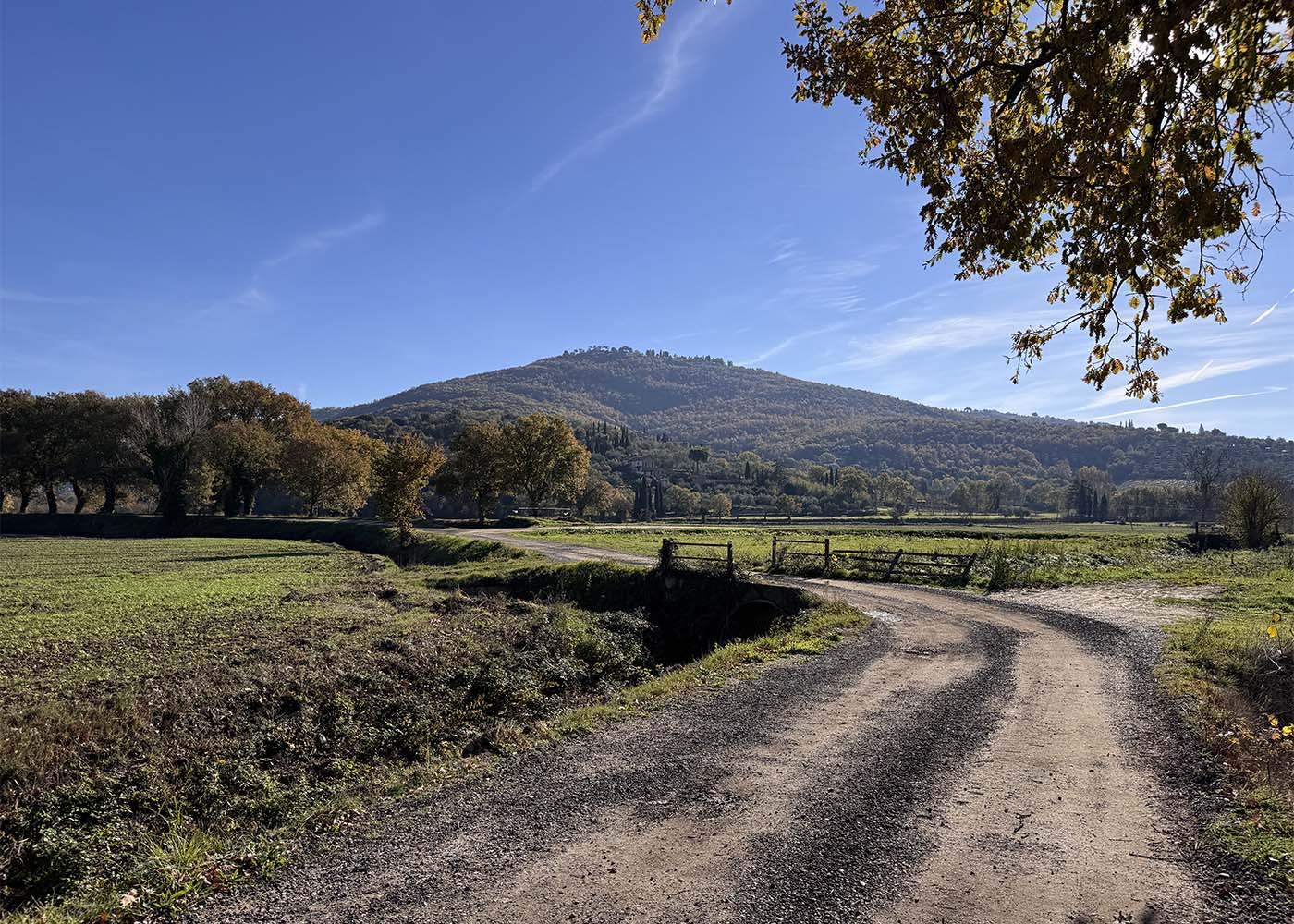
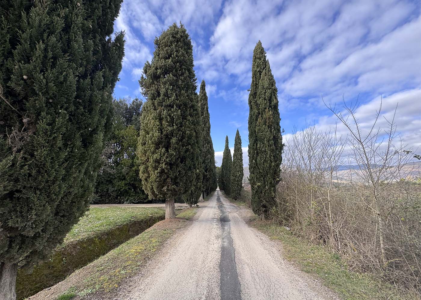
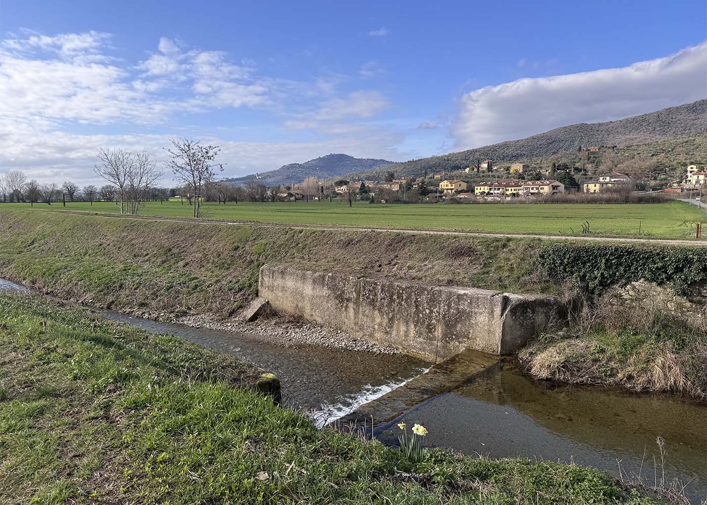
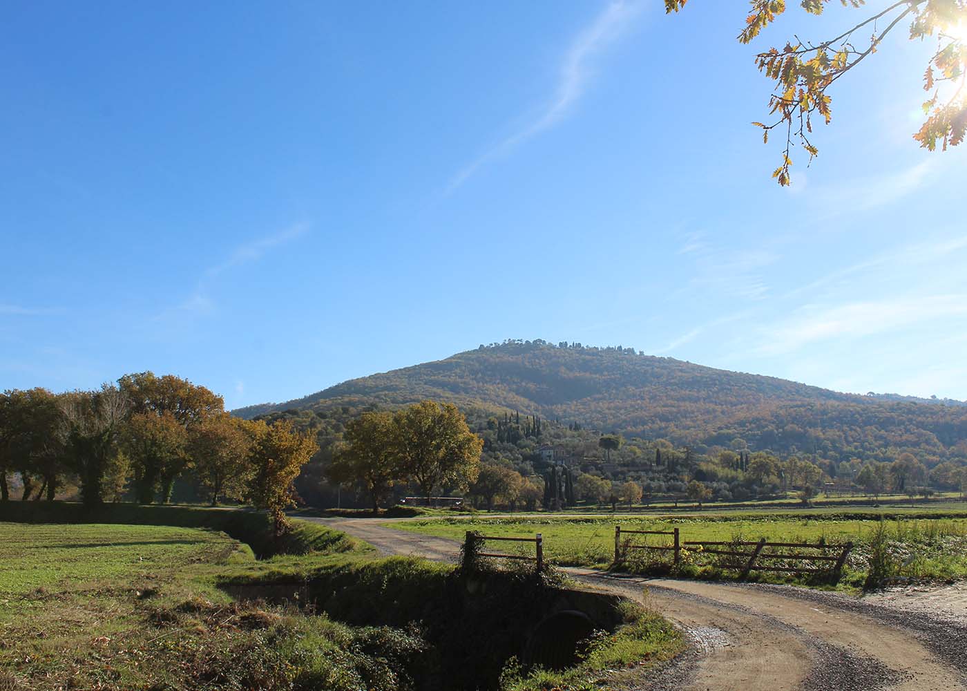
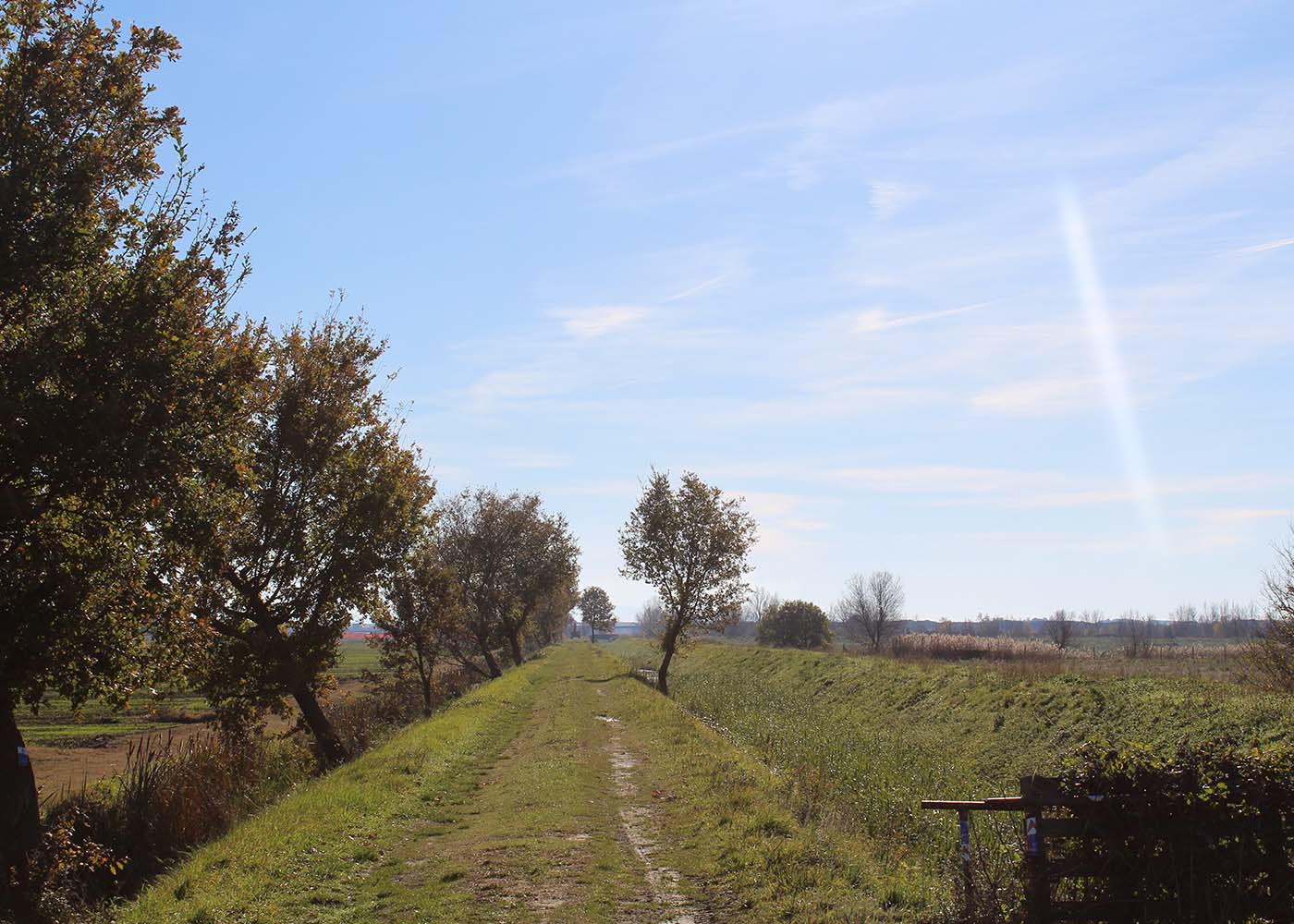
The itinerary winds through the Valdichiana Cortonese, crossing flat and semi-hilly landscapes of rare beauty. Part of it develops along the network of paths of the MAEC Park.
It starts from Sant’Angelo, following the Via Romea Germanica and Lauretana almost to the junction for Le Corchie. Here, turn right, continuing on the same Via Romea Germanica and Lauretana until Montalla. From Montalla, the route continues on the Romea-Lauretana, offering marvelous views of the Valdichiana and Cortona (which remains behind), until reaching Ossaia and, from there, until running alongside and crossing the Mucchia stream. Leaving the path and reaching the church of San Lorenzo in Rinfrena, you intercept the Provinciale Lauretana, which you follow for a stretch until the town of San Lorenzo. On a flat road, accompanied by wide views of the Valdichiana and Cortona on the horizon, you reach Montecchio. After passing the town and crossing the SP 31 di Manzano, which you follow for a very short distance, turn right towards Fratticciola. At the foot of the town, turn right again, continuing through the fields up to the area of the Museum of Rural Life. Once on the main road, cross the Mucchia again and then the Esse stream, after which you turn right to follow the path along the embankment of the ditch which, after passing Sant’Agata, runs alongside the Siena-Cortona road. Entering this road, you soon reach the Sodo Archaeological Area, the most important archaeological site in the Cortona area, and one of the most significant in Central Italy. The itinerary continues to the Regionale Umbro Casentinese, which you take heading north. You leave it shortly after to return to the secondary road network and take the CAI 563 and, from there, again the Via Romea Germanica which, in a decisive climb, leads to Cortona. Crossing the city, you continue on the Romea, now also Lauretana, reaching the Palazzone and the nearby shrine. From there, you quickly return to the starting point of the itinerary.
Length: 32 km
Elevation gain: 420 m
Difficulty: medium
Cycling time: approximately 3 h
Activity: cycle tourism (e-bike recommended)
Recommended direction: clockwise
Dedicated waymarking along the route: no (download the track and follow the route on your GPS or smartphone)
USEFUL TIPS AND RECOMMENDATIONS
Preparation and Equipment
- Appropriate clothing: Wear layered clothing (breathable and waterproof if necessary) and, most importantly, tested trekking boots suitable for the route.
- Backpack: Bring enough water, energy food, a first aid kit, a map of the area and a GPS with the track (alternatively, load the track onto your smartphone), a power bank for your mobile phone and, depending on the climate, sunscreen and a hat.
- Bike: Check that your bike is in good condition and make sure you have a repair kit with you.
- Weather check: Always check the weather forecast before setting off and be prepared for sudden changes.
Safety and Conduct
- Route planning: Study the proposed route in advance, evaluate its difficulty and distance, and correctly estimate the travel time.
- Inform someone: Tell a trusted person the route you intend to follow and the expected time of return.
- Do not go alone (if possible): It is preferable to tackle the itinerary with company. If you decide to go solo, be even more cautious.
- Respect the track: Always follow the provided track and do not venture into unmarked detours.
Respect for the Environment
- Leave no trace: Do not leave rubbish along the route.
- Respect flora and fauna: Do not disturb wild animals and do not damage the vegetation.
- Respect the monuments: Respect the historical, artistic, and archaeological heritage. Contribute to its conservation by reporting acts of vandalism or neglect.
WARNINGS
The proposed itineraries were checked during their creation, and are therefore based on information and conditions recorded at a specific point in time. The authors and promoting bodies assume no responsibility for any changes to the route, adverse weather conditions, accidents, or damage of any nature that may occur during the excursions.
It is the responsibility of each hiker to evaluate their physical preparation and the adequacy of their equipment, as well as to independently check the track conditions and weather forecasts before setting off. The use of the information and tracks provided is the sole responsibility of the user.